
Physical Layer Network Mapping Tool
Status: Paused
Dates: 2024 to 2025
Anyone who has deployed networked sensors in the field can attest to how inaccurate wireless network maps often are. Motivated by the need to understand a location’s connectivity prior to deployment and to debug sensors that fail to connect during deployment, I am designing a portable network measurement and mapping tool that works across multiple wireless technologies.

The system is built around a BeagleBone Black that configures and collects signal strength data from a software defined radio, storing results on an SD card alongside periodic GPS location data. This allows a user to walk a site and automatically build a map of RF signal strength tied to physical location. To span multiple technologies — WiFi, LTE, satellite, LoRa, and others — without being tied to a specific provider, the device is passive, only collecting physical layer information by tuning to specific frequencies and measuring signal strength and variability.
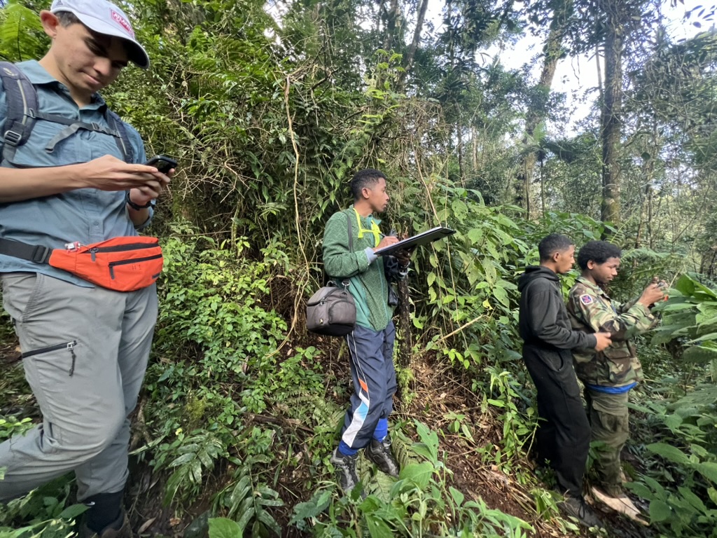
I piloted data collection in Madagascar in 2024 and encountered several challenges that I am currently working to address. The next step is to evaluate how well collected PHY layer data correlates with conventional network metrics such as throughput, which will determine how reliably the tool can predict the quality of a sensor deployment at a given site.